The total land area of Port-au-Prince is 61 square miles (158 square kilometres)…
…that’s slightly smaller than Sheffield.
Port-au-Prince’s population was 2,440,000 in 2015…
…that’s around 3.5 times the population of Sheffield!
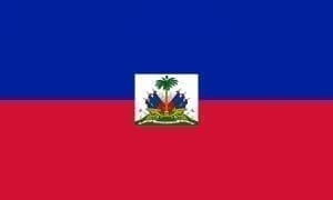
Flag of Haiti
That gives it a population density of around 40,000 residents per square mile.
A whopping 25% of Haitians live in Port-au-Prince.
Port-au-Prince is located 144 ft above sea level.
Residents of Port-au-Prince are known as Haitians.
Haitians living in Port-au-Prince enjoy a tropical climate with an average annual temperature of 28°C.
Looking to fly yourself to Port-au-Prince? You’ll need the coordinates of 18.5333° N, 72.3333° W.
Make sure you visit Musee du Pantheon National Haitien if you’re in Port-au-Prince; it’s a national museum, where you can see a range of artefacts from Haiti’s rich history.
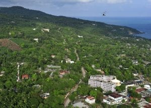
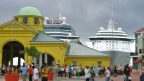
Port-au-Prince, Haiti
Social intricacies
The official language of Port-au-Prince are French and Haitian Creole.
Haitian Gourde is the official currency here.
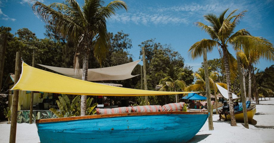
Haiti welcomed 295,000 tourists into the country in 2012, many of which visit Port-au-Prince for its stunning beaches, colourful homes and vibrant culture.
Do you know any fun facts about Port-au-Prince? Share them in the comments below!
We use cookies to ensure that we give you the best experience on our website. If you continue to use this site we will assume that you are happy with it.